I like questions that involve “Help”. When I was at a conference last week someone asked about working with Fulcrum Data. The summary of the question went something like “I’ve got a lot of data in Fulcrum but I don’t want to export it out just yet….but the users need to start looking at it – what do I do?”.
Fulcrum has a lot of ways to push data out. You can enable data shares and push data out through a series of URLS. Google Sheets? You can pull data into google sheets as a csv. You can embed your data as a map. You can share it out as a JSON. You can share it out as GeoJSON.
It had been a good while since I had pulled data from Fulcrum into QGIS. It’s incredible easy. Enable Data Shares in Fulcrum. Add Vector Data. Click Protocol and copy and paste that url into QGIS.

Click Open and you have data.
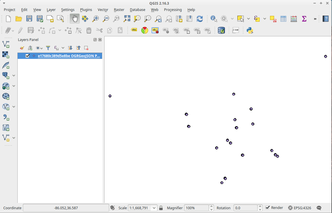
In the above case my data in my project is in WGS84 and the data coming out of fulcrum is WGS84. So I can start “doing things” (technical term) like “select by location” and using some other Geoprocessing tools.
What if my plans are a little bit more complicated. I’m back in the office and my guys are in the field. I want to quickly look at what they’ve done. So I add the GeoJSON. I really want to look more so I open DB Manager and go to QGIS’s Virtual Layers. I’m going to run a few SQL Queries against my fulcrum data.

So I’ve got 1835 Data points. For this test I built a really simple fulcrum dataset where all I was recording was the name. How many records of ‘g’ and ‘h’ do I have? A: 365
select count(*) from ‘e17680c389d5e8be OGRGeoJSON Point’ where name = ‘g’ or name = ‘h’
I want to create a new view of ‘g’ and ‘h’:

Things I tested: I make edits in fulcrum and my geoJSON layer updates.
Things I didn’t test: I make edits in fulcrum and my New Layer updates.
Anyway – things are flexible and I like flexibility. I can take data from my mobile app and throw it in my desktop. I could even save that data out to another format without touching my Fulcrum data using QGIS. I know – crazy…and awesome. If my database allows I push this data into my server (in my case postgis) and keep working along.


