
by rjhale | Jul 8, 2024 | GRASS, Lidar, QGIS
I typically spend June wondering about what I’m doing, have done, and need to do work wise. One thing I keep thinking about is “the old days”. By old days I mean the start of my career which was doing a lot of Watershed Mapping. Back in the mid...

by rjhale | May 26, 2024 | GRASS
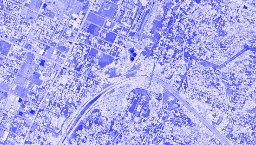
“Hey you’ve been on a NDVI kick as of late!”. Technically I’ve been on a learning kick as of late. When I get burned out I tend to float back to the thing that gives me some comfort and that’s numbers and mapping etc. This morning (being...
by rjhale | Feb 11, 2022 | GRASS
I’m a bit late to the game on this one – but my favorite guilty pleasure software just got a new major release. Guilty Pleasure software? Yeah – I like GRASS and I run it when I can where I can. I actually had a job a few years ago with a drone...
by rjhale | Dec 18, 2019 | GRASS, Imagery, Lidar
I know – I’m running behind. So look at these 12 days as either “hints” or “tools”….or both. Being a consultant I walk into some weird situations with data and clients – so it helps to take a full complement of tools...
by rjhale | Jul 6, 2017 | GRASS, Lidar, Tennessee
Part 1 Part 2 And now for Part 3. So something exciting happened. If you’ve been keeping up with the TN GIS Data site you’ll notice a lot more data has been released in uncomfortably HUGE zip files. I downloaded two counties worth and have been exploring...

by rjhale | Jan 23, 2017 | GRASS, QGIS
….But Randy you’re a month late announcing it. I know. I’m behind. I’ve become a GRASS fan for the awesome processing power behind this software. For those who have kept up with the blog you’ve seen me do random things with LIDAR....
