Confession – Former Geology Student turned into GIS person.
Back when I started doing GIS we were running on Sun Sparc Stations. I learned a lot – and one of the things I learned was I love to tinker with small programs. The fun one was xearth for a few years. I would run this program and have a terribly bland view of earth running in the background. Then I found out you could add points to it like Cities….so I what I ended up doing was building a series of very terrible scripts to take my daily USGS Earthquake email and toss it into a text file for Xearth. In about a month I had the tectonic plates outlined. I looked like a stud….or a nerd. Probably a nerd but I felt studly.
So I was picking through the QGIS class this morning and I have a few things I want to change. It’s always changing. Given that humanity felt a very large earthquake this week in New Zealand – why not make a change to the class…and it goes a little something like this:
- Download the 1:10m vectors from http://www.naturalearthdata.com/downloads/10m-cultural-vectors/
- Visit the USGS Earthquake page and visit the Geojson data feed -> http://earthquake.usgs.gov/earthquakes/feed/v1.0/geojson.php
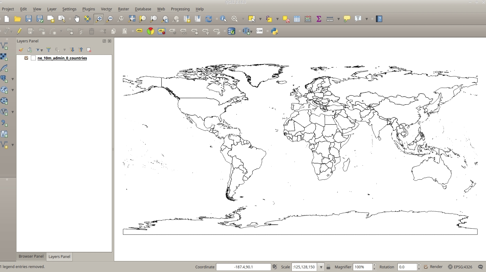
Open QGIS and add your cultural Vectors.
QGIS can ingest “feeds” of data. I used the same trick a few posts back for Fulcrum Data. You can pull in the GeoJSON shares of you data while it’s being collected.
If you click on the USGS Earthquake site you can pull that point data into QGIS. I clicked on the one month summary of earthquakes. Copy the URL. Open QGIS. Add Vector Data and Click on Protocol. Paste the URL and Click Open.

Suddenly – HOLY CRAP EARTHQUAKES!

With a few adjustments to your legend……

I should set up a rules set to handle the sizes a bit better – but this was all done in about 5 minutes. Since it’s Data – you can start doing things like some quick analysis.
- 7738 Earthquakes.
- The biggest Earthquake being New Zealand which was a 7.8
- 6116 Earthquakes in the US. The biggest of which is a 5.2
Well – fun with QGIS and Earthquakes. Come take a class. We’ll talk about Rocks and GIS.


