
I should write something. My last few “2020 in Review” posts aren’t working like I’d wish – so I sat down last night to make a map.
A map of what? Good question. I think in my every day attempts of databases and technical wizardry I lose sight of “I actually like maps” and I’m not the best at it. Given my background I should be better. I decided to make a series of maps on “things I like”: Canoeing, Hiking, Bike riding, etc. So my first shot is a canoeing map. A very simple map of something I like to do.
The location is easy – The start of the TN River Gorge. It’s a great 8ish mile paddle. Simple. Quiet.

Looking into the Tn River Gorge
My first thought was to do what I normally do and just drape things over a aerial photo. I’ve decided to make it a bit more fun and not go that route – This may end up being Black and White. I’m also going to stick to two sizes of paper in this series of maps. Either 8×11 or 11×17.
When you canoe this loop – you start north and head south and loop around an island and then head back north again. The first half is all upstream (heading south) and the last half is all downstream (heading north). Bonus it’s all NW-SE trending so it will need to be rotated.
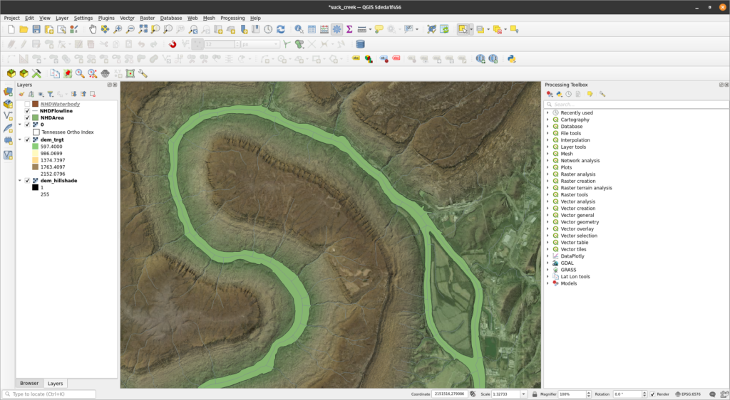
I start building it in QGIS with some aerial imagery and Hillshades for fun:
If I make a 11×17 layout it looks more like this because I’ve added 120 degrees of rotation:
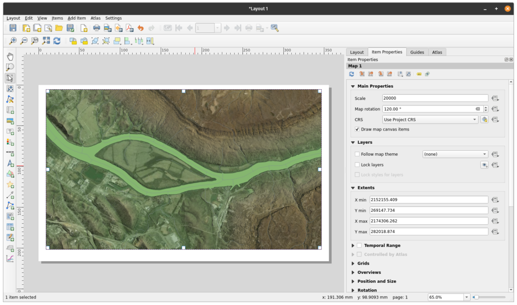
As I sat here I had a question. I scale it. I generally start to get an idea of “what” I want. I know the extent of the map but can I get the extent back into QGIS so I can start clipping things and not having to include 500 square miles of stuff for a map. I could just set up the boundary back into QGIS as delimited text (make points -> draw polygon). I could just “eye ball it” which is how I do about everything from Jeep repair to Home Repair.
For fun I searched the tool box and….Print Layout Map to Layer

I run that and……I know where my map falls in the main window. So I can buffer it and start clipping data.

Why even post….I had no clue this tool was even here. My next map (another canoeing map) will be a bit larger than 11×17 so I’ll nee to use Atlas to setup 2 to 3 pages. I now have the general extent for 11×17 at X scale, copy and past this boundary a few times, and rotate it to get the general layout locations I will need
Map 1 is well on it’s way to happening. This is a bit therapeutic and that’s something I need at the moment.




