I wonder how many people read this blog and go “You’re nuts”. Well – yes.
I do a number of things here. One of the things is managing a database for a forestry client. This year has been rough on the data end of life. I had everything stored in a file based geodatabase. I wasn’t particularly happy with that setup as the data was growing more than I could keep up with it (not the fault of the data format at all). I ended up moving back to shapefiles with gave more ability with other software (QGIS). Still wasn’t happy with that as I was now having to do a ton of post processing with model builder to straighten out mistakes.
Databases are one of those things we don’t deal with well in GIS (or at least I never have). I’ve had this ever increasing fascination with PostGIS. I’ve always shied away from databases just because I’m visual. I want to look at data vs text. Except this client is slowly killing me with data.
So I started the trek into postgis. Granted my setup isn’t elegant but it’s working. I’m actually managing data and instead of repeating columns and fields at every corner I’ve now built in foreign keys and triggers Plus I’m now keeping up with dates of edits. It’s not a full audit (yet) but I’m getting there.
 A big amount of heartburn has been ArcGIS. Not for any other reason except it’s slowly getting morphed into a cartography tool. Except I’ve stored all my data in postgis/postgres and for the uninitiated – the two don’t blend well. Let me back up – Didn’t. Over the last year or more there has been more of a push from ESRI to support in some shape or fashion Postgresql. You can use it as a backend with SDE to edit. Except my clients can’t afford that route. If you haven’t notived the minute you go past ArcView…or ArcGIS for Desktop Basic it’s pretty much a cluster of ArcGISOnline, ArcServer, ArcEditor and “OMG JUST BUY SOMETHING”. Hah. I’m kidding (not really).
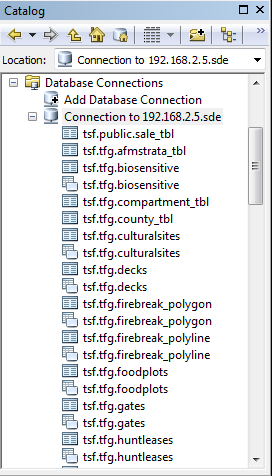
Anyway – I’m running postgresql 9.3 on ubuntu 14.04. I’ve got ArcGIS 10.2.2 running over on a virtual machine (because I’m weird that way). So the ESRI customer site has downloads for library support for Postgresql. Download the Postgresql 9.2.2 libraries. Install them and copy the libraries (32 bit) into the ESRI bin directory. Then – connect. There’s a bit more magic that happens with definition layers….but it works. I can view postgresql/postgis (but not edit) tables.
There was a whole issue a few months back with maps. I opened the MXD’s and reconnected the data source to be Postgresql. I started pumping out more maps.
So what did we learn.
As you guys are going to hear me say more and more. Process trumps software. I’ve now moved a client that sits and wonders every year should they pay the $500 dollars worth of software maintenance into an better environment. PostGIS to store their data. QGIS for Editing which now enables their three employees three copies of desktop software. ArcGIS for map production. Total cost: $500 (if you ignore my time in moving and cleaning up the data which was actually ignored – I did this to prove it would work and to get the first client into what I’m calling the “Spatial Connect” Product). All that is left is some more data cleaning and training on using QGIS to maintain their data.
The big question – Should I toss ArcGIS? My answer is no. No reason as it still plays a role. If they were just starting out now would I tell them to purchase it? That’s a whole different discussion considering their industry.


