- Software: QGIS 3.20
- OS: Any
- Updated August 2021
Sometimes you need to uniquely identify data. I have one client for which I generate points and those points must be unique.
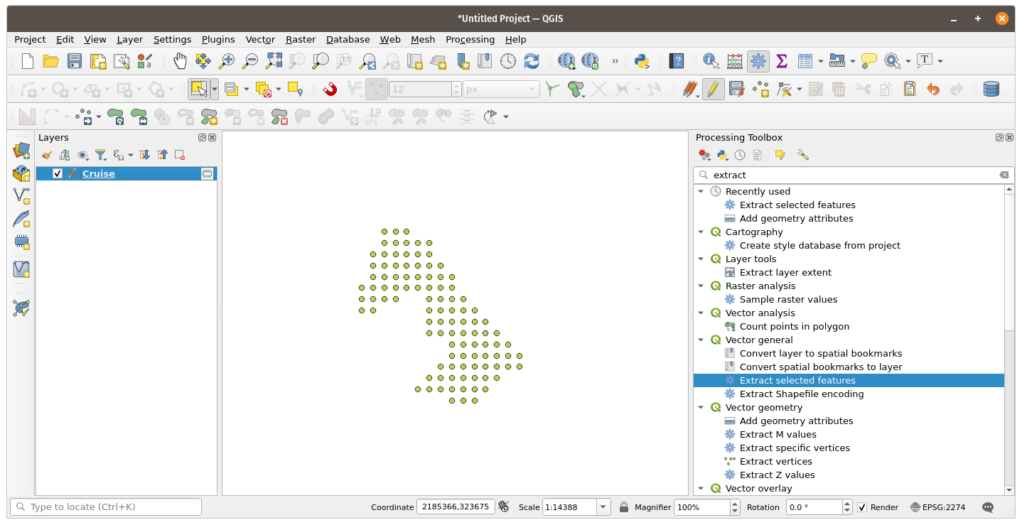
Open your data in QGIS – in this example I have points that have been generated and fall within a boundary.
Open the attribute table and toggle editing mode on the point file.

There are two ways I have done this – one is using the Function $id and one is using the function @row_num. Both of these functions can be located under Record in the function list.
- Create a new field called id
- output field type integer
- Default to 10 characters
- Under expression enter @row_number
Click OK. You now have a unique attribute for your point file.

Want to add a Unique identifier with a character like ‘R’?
‘R’ || @row_number
Want QGIS Training? Need help with a project? Give us a shout at info at northrivergeographic.com
