One question last week: “Why don’t my buffers come out right in EPSG:4326”. That launched into an explanation starting off with “Well….the Earth is round…”. We ended up discussing the buffer tool and “surprise” you can’t easily buffer in EPSG:4326. You really need to learn about your local projections.
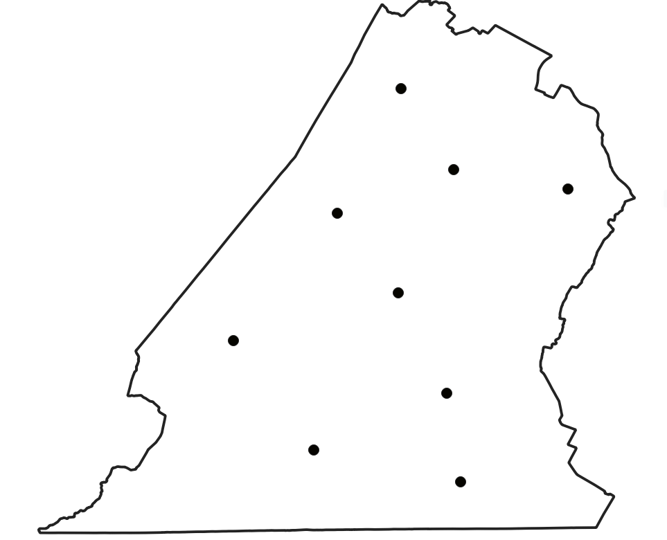
Of course I am wondering “Can you buffer in EPSG:4326 in QGIS?” I can do about everything else. Lets say you have points to buffer and they are WGS84, your buffer tool will complain about your data being in degrees (but it will run):

If I were in a database (postgis) I’d use st_transform and shove my data temporarily into a local coordinate system and be happy…..but I’m in a desktop piece of software………..but – if you’ve worked with the field calculator any amount of time you’ve got a transform function that allows you to reproject data when using an expression. I also have a buffer function. I can also interact with the geometry of the layer.
QGIS now comes with a processing tool called “geometry by expression” that will allow me to use functions from the field calculator to work with geometry.
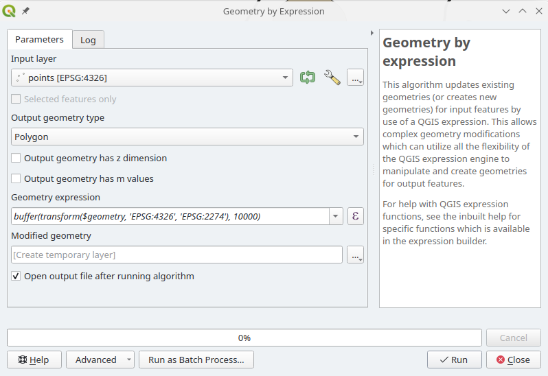
What is happening: I’m telling QGIS I want to buffer these points that are in EPSG:4326 10,000 Feet. Before I buffer them please shove them into EPSG:2274 so the 10,000 feet makes sense to me.
All that is left is to take my new layer and redefine it to 2274 – because I’m sneaking around QGIS’s nifty projection tools to create a layer with 2274 coordinates in a layer that thinks it should be in 4326. Confusing? A little – BUT – it’s possible. I could set this up in a model if I was going to do this constantly.
What did I tell the client? Reproject your data into a local projected coordinate system. What did I do – probably something I shouldn’t have BUT it shows how flexible QGIS has gotten in the last bit.

Hail Halloween


