by rjhale | Feb 21, 2019 | GDAL, postgis, QGIS, Tennessee
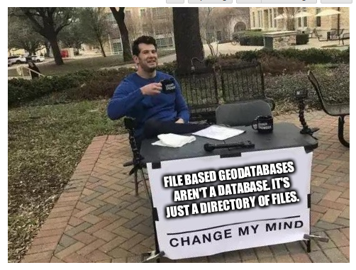
Many of you will look and go “OMG – Randy has a new hack for a database”. No – Randy is a hack at databases. So about 4 or 5 years ago I was dropped into the idea of databases. I was working a job several thousands miles to the south and life...
by rjhale | May 24, 2018 | FOSS4G, GDAL, QGIS, Rambling, Training
I love a good road trip. FOSS4GNA was in St Louis Missouri this year. Close enough for me to get in the car and tune out for 5 to 6 hours. First thing on the Agenda – QGIS. I did the 4 hour “Intro to QGIS” for about 60 something people. You had...
by rjhale | Jul 18, 2016 | Fulcrum, GDAL, QGIS
I like watching MapBox. A few years ago, they developed an mbtile format. You can stick imagery into an sqlite database and use it in several applications – in my case I use it in Fulcrum. It seems like (at least for me) the mbtiles raster excitement turned...
by rjhale | Mar 4, 2016 | GDAL, Open Source GIS, QGIS, spatialite
I don’t have this one entirely figured out yet – but last night it started making more sense. If you’ve installed QGIS 2.14 you’ve noticed a few things – and one of those might be this icon: The new icon is for Virtual Layers. Lets add a...
by rjhale | Feb 29, 2016 | Cartography, FOSS4G, GDAL, North Carolina, Open Source GIS, Open Street Map, OSGEO, postgis, Python, QGIS, spatialite
Emails are flying so I wanted to throw something up here Confession: I’m on the conference committee. The final count came down to these numbers: 93 full talks, 36 half talks, 10 workshops, and 3 keynotes. You may look at this and go “OMG they are going to...
by rjhale | Oct 13, 2015 | GDAL, Open Source GIS, PDF, QGIS
I hate to even say “GeoPDF”. It’s not a bad thing by any stretch. Much like saying “Mr Sid” I probably do it with a contorted facial expression. At some point I’m going to talk about some of the stuff Terrago has been doing with...


