QGIS Training usually goes one of two ways: Mediocre or great. With a class of 10 you have 2 or 3 that are really excited about QGIS and 2 or 3 that are glad they aren’t at work while the rest scratch their heads and go “Why won’t this guy shut up”. In the training in Dumas Texas – Someone yelled “Holy Sh*t” and I was caught off guard……

I’ve been getting more training requests from organizations looking at moving off their COTS system or integrating QGIS into their workflow. So far I’ve been to 2 conferences to talk about QGIS and 2 organizations to teach QGIS. Last week had me in Dumas Texas. If you fly to Dallas TX and get in a car it’s almost exactly one tank of gas away. Dumas is a town of 16,000 but they also house the North Plains Groundwater Conservation District. NPGCD is moving off their commercial system – actually have moved and have dived fully into Open Source Software. RESPEC had built a backend system for them and most of the work happens there – but work happens in QGIS. RESPEC called and asked if I could do some training. My answer was yes and off I went.
NPGCD is in the groundwater protection business. They work with the local population from farming to industry to protect the water supply. The water supply being the Ogallala Aquifer. Fun part for me – it’s been a bit since I’ve been this close to my old job of “environmental GIS” work and since I’m a geologist by training I find the whole thing of aquifers fascinating.
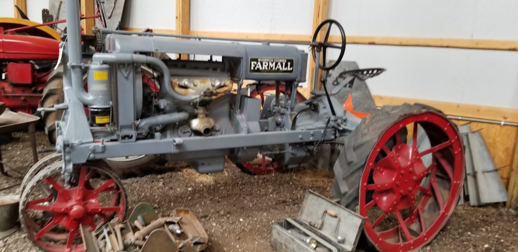
I went to the Dumas Museum while I was there. If you like Tractors – have I got the place for you.
One of the fun things with the Intro Class is the exercises – well at least I think it’s the exercises. It took a while but I have them to a point to where I can rip them out and replace them in about half a day. The Problems cover the basics of what I think people struggle with in QGIS …. well GIS in general. So in walking to meet the group the day before class I realized I had all the exercises wrong. What I thought they needed wasn’t what they needed. So – I replaced them the night before class. Granted they were still not perfect but I caught the spirit of the problem. We ran through slides for 4 hours and then I went and sat with each person individually and answering questions.
In 27 years of doing this – people are always stuck with editing and attributes. You can run through toolboxes and python and talk about colors – but it always falls down at editing and attributes .
- How do we find stuff?
- How do we edit the stuff we find?
- How do I save stuff?
- (plus the How do I make a PDF to print because we need a paper map).
There aren’t many times I get to sit with a client during training and learn what works and what doesn’t. Day 2 we just threw the class out and played “Stump the instructor”. When we touched on editing that’s when the “Holy Sh*t” moment happened. We covered how to edit and merge data and move vertices and not create more problems than you started off with. No one has ever been happy enough in class to curse. It was great.
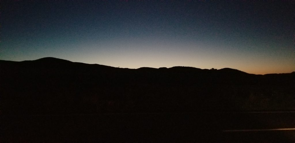
Leaving Dumas while listening to Waylon Jennings
I’ve had some horrid classes. I’ve had some mediocre classes. I think this one was probably the best classes I’ve had the pleasure of conducting….way out in the middle of North Texas. Heading out Saturday morning I stopped on the side of the road and caught the sunrise while Waylon Jennings blared from the radio.


