OSM and Washington Illinois Part II

Dec 3, 2013 | Open Source GIS, Open Street Map

You never know when a map is going to turn up. A facebook/Twitter friend – David Smith (@DruidSmith on Twitter) posted that there was a pic of a map on facebook of the Washington Illinois tornado area. David had started mapping in OSM and the kids from Red Bank High School put in a few days at it. It seems like quite a few people put some time in on this one. It’s actually a good looking map now.  Well……

1400708_10153557635665080_1129658773_o

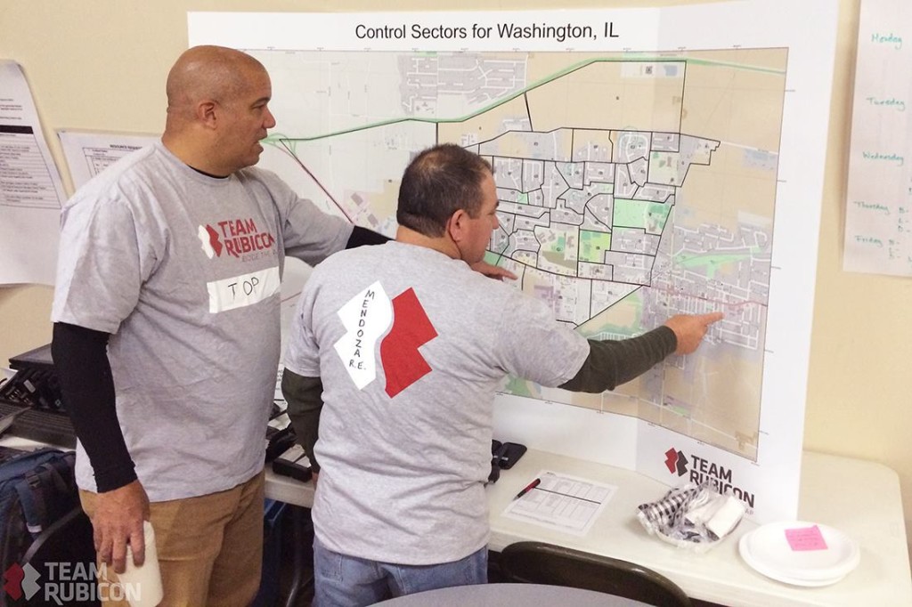
That turned a bit of a crappy day into a slightly better one. Someone actually used the map for something. Even if it was for something small IT’S GETTING USED. The nice thing is it’s just up there for anyone to use. I had never heard of Team Rubicon until today either.

You may also like

Bike Lanes in Chattanooga

Bike Lanes in Chattanooga

I was sitting around thinking there other day that I've been doing OpenStreetMap "things" for way too long. With one volunteer job going dormant I decided to re-visit something I had worked on 12 years ago. I had met up with some OSM folk here in town around 2010 and...

QGIS Support Redux

Back to QGIS ramblings. I mentioned in a previous blog post I was doing QGIS support specifically for one company but in reality it's been about every client where I install QGIS. The one company turned into a retainer where I tested the waters of "can I do this?"....

Finally pulling data out of OSM

Finally pulling data out of OSM

......as opposed to pushing data into OSM. So I've been working on a OpenStreetMap workshop for URISA. I had originally written it 6 or 7 years ago and it's been touched in spots but not "re-written". I am doing a top to bottom shakedown of the workshop and fixing...