Georgia URISA Luncheon – January 10th 2016

Jan 5, 2017 | Atlanta, Georgia, Lidar

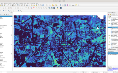
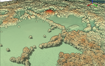
LIDAR is a hot topic in Georgia these days. So – for the January 2016 Luncheon more LIDAR.

“LIDAR Updates – Changes in the Technology and Coverage”
Speaker Name: Ernie Smith

Presentation Summary: Like all Technology LiDAR has become very dynamic with new sensors and available data. We will talk about the advancements and availability of Sensors, Standards, and Data sets. There are many changes in the technology and unless you are working with it everyday, it’s difficult to keep up with all of the advancements.

Standards are also changing due to the sensor technology advancement which means practices and applications for LiDAR are growing. Also drones are being used for data collection and there are some things to be aware of for that use of Technology. We will present a map that gives our best understanding of where LiDAR data exists in Georgia as well.

Location:
Henry County Water Authority (Engineering Building)
100 Westridge Industrial Boulevard
McDonough, GA 30253

Register: http://www.gaurisa.org

You may also like

TNGIC 2024

TNGIC 2024

So - if you're coming to the 2024 TNGIC (TN Geographic Information Council) meeting (April 9-11 2024) to talk about how no one understands what you do......I'm doing a workshop. What workshop? It's a new workshop. QGIS and LIDAR data. As to what I do with the class...

LIDAR in QGIS 3.34

LIDAR in QGIS 3.34

I'm old. If you look at my past mapping history I was helping create DEMs (or DTM's if you will) with Photogrammetry folk. It involved a lot of Aerial Photography and control and weeks. Then LIDAR hits. TN has an abundance of LIDAR and I rarely have any jobs revolving...

QGIS 3.30: Global Map Terrain

QGIS 3.30: Global Map Terrain

Did you ever get writers block? I did..well and still do. So after spending a few weeks "stuck" - I've decided to work my way through (as much as I can) the changelog for QGIS 3.30. I may talk later on "small business owner's block" (at least that's what I call it)....