And now for Part 3.
So something exciting happened. If you’ve been keeping up with the TN GIS Data site you’ll notice a lot more data has been released in uncomfortably HUGE zip files. I downloaded two counties worth and have been exploring the data. In the meantime I started getting a few emails of “hey we’re getting data on a hard drive”. The cool thing with that is I received a tile from a county and it’s in LAS. If you read through some of my other rants I’ve been annoyed by the fact this is in zlas format. If you do some digging on zlas it’s more or less ESRI going “Hey we’ve made a format that only we use” and you have to unlock it to make it useful by anything else. We’ll – the counties are getting unlocked data. Victory.
BUT – there’s one more Problem. In all my examples I’ve been using GRASS. So I tried to pull the data in and nothing good happened. Actually – nothing happened. It was then I started learning about liblas and the LAS Library Versions. The short story is GRASS will read the 1.2 LAS Version. The data provided by the state is in 1.4. So you can’t automatically use GRASS to do anything with the data.
EXCEPT PDAL TO THE RESCUE! Probably the one thing I’m learning is I’m not short on tools to use with LIDAR. I’m up to: GRASS, PDAL, SAGA, and LASTOOLS. I will spare you all the information on how to get PDAL – read about it on the website. For those of you on Windows: if you have QGIS from the OSGEO Network Installer, you can download PDAL painlessly and be quite happy. As I’m running Linux on everything I grabbed a copy and compiled it and have it locally. I’m also quite happy with that.
So the one thing you need to know is this: pdal translate inputlasfile outputlasfile . Issue that command from the OSGEO window. Something wonderful happens – you get a LAS file v 1.2 you can run through GRASS.
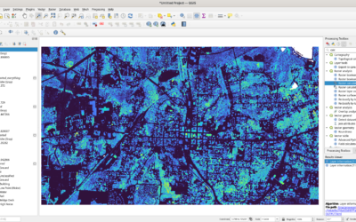
You can do things like making a map of the intensity values: 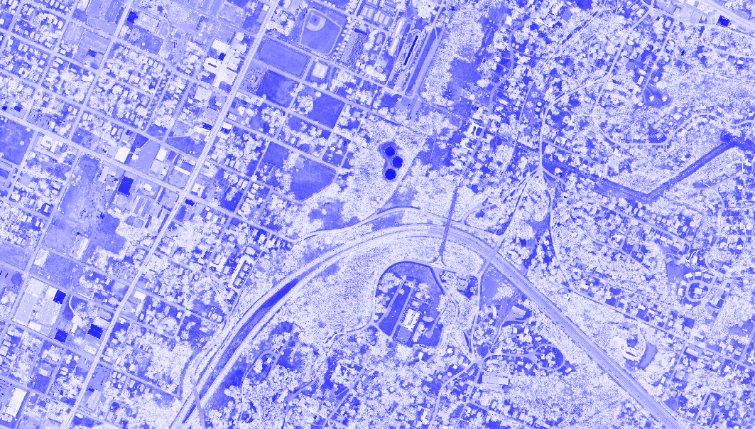
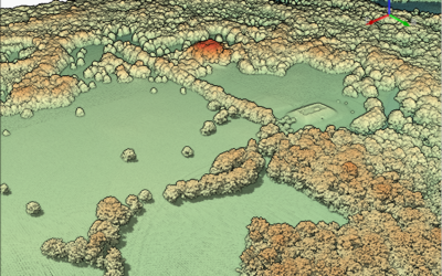
Or a hillshade for posterity:

To get from an LAS file to anything above is about 10 minutes. Maybe 12 minutes. I’m running this on a laptop with a lot of RAM – but I could do this on a much lower end machine.
I’ve covered GRASS and LAS….Oh Class! Read your metadata. If you read Part 2 above you’ll notice there is a change in Classification with the new data:
| Classification | Value |
| Unclassified | 1 |
| Bare Earth | 2 |
| Low Noise | 6 |
| Water | 9 |
| Ignored ground | 10 |
| Bridges | 17 |
| High Noise | 18 |
…and there – I finished my horrific joke of LAS, GRASS, and Class. I’m not explaining it.
It’s happening. LAS files for TN are out and about. My first thought is what can I do with this….my second is what are you TN Citizens going to do with it. My first two requests have been:
- How do we get Tree Height?
- Can we see Archaeological sites?
So – my next goal is to process A LOT of LIDAR at night. I’m going to set up a process to fix the format (unfortunately the data on the States website is still zlas), fix the library version, and then process a lot of data. Overnight? During the day? Who knows.